Kangaroo Creek – Chinaman Track Project – Stage One

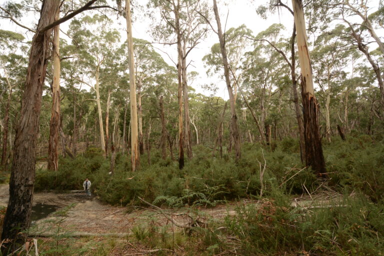
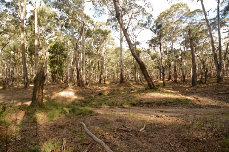
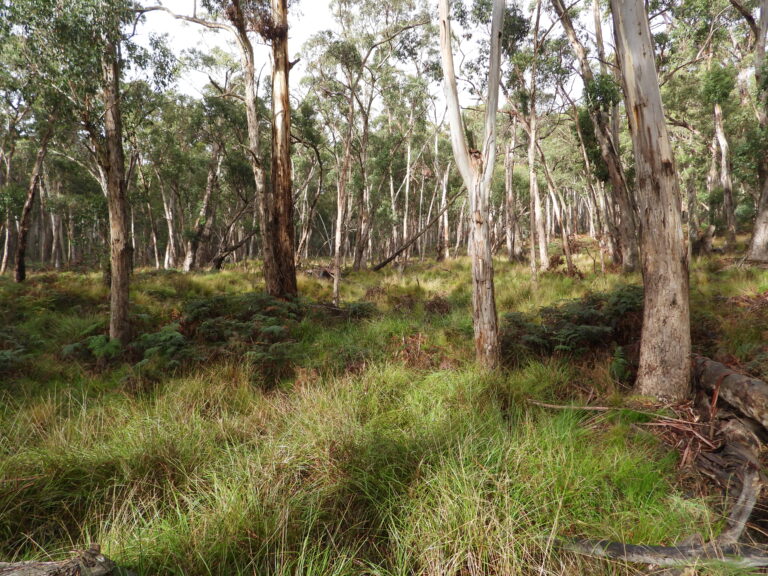
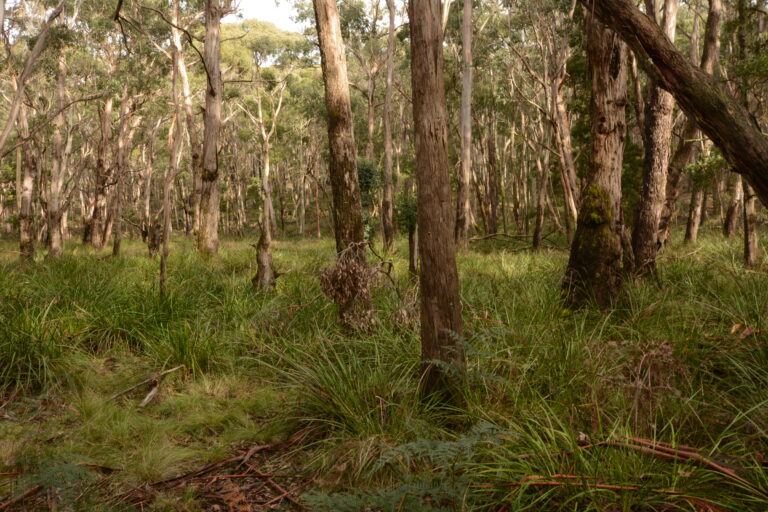
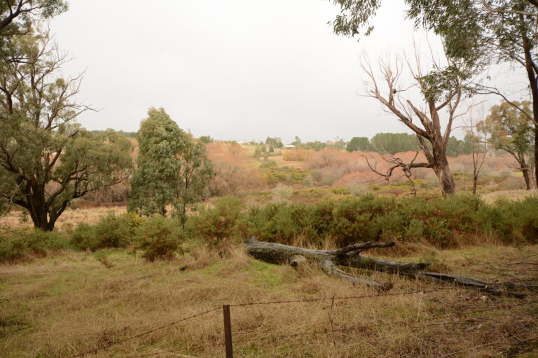
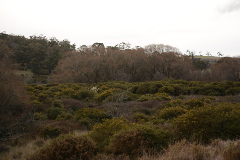
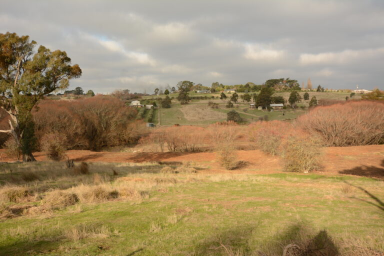
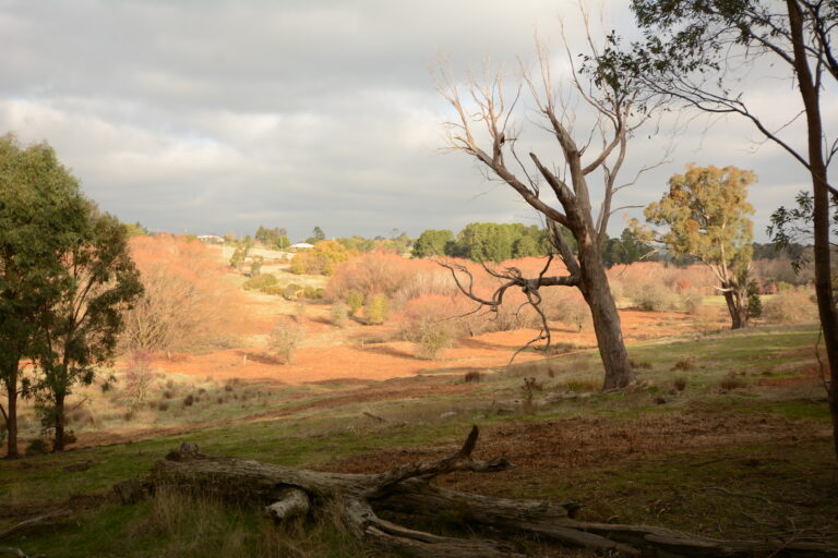
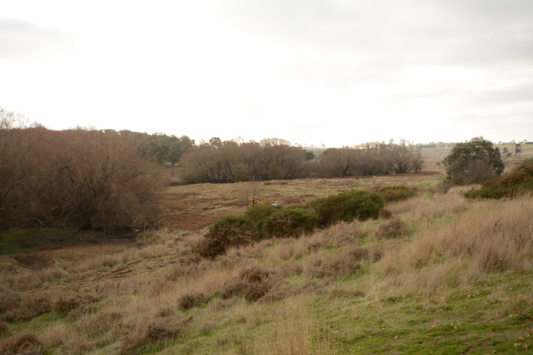
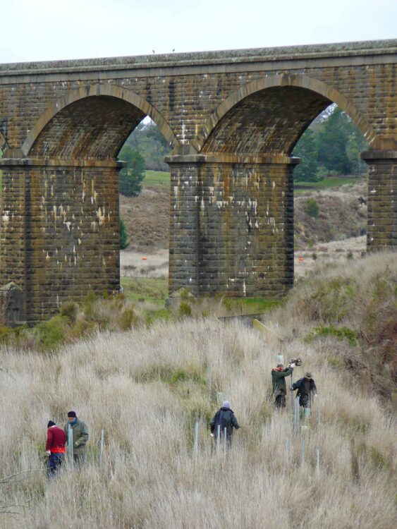
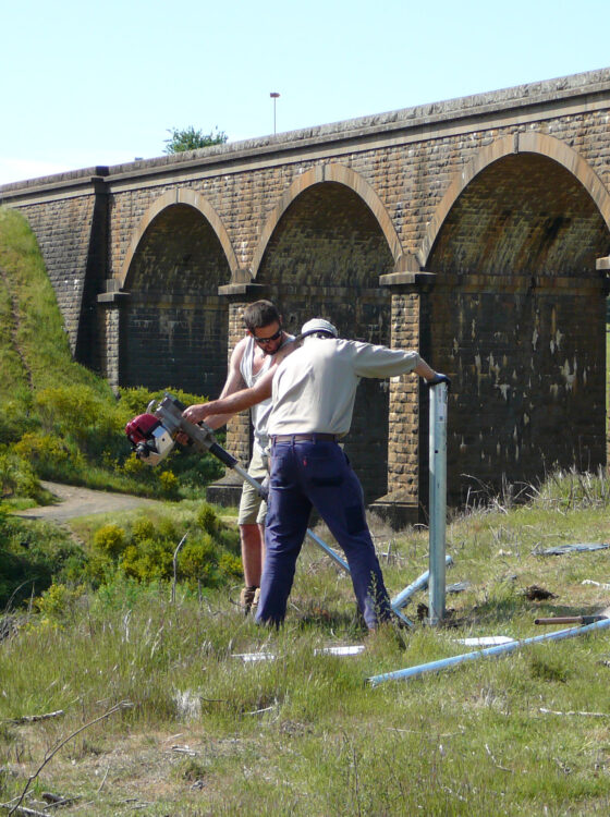
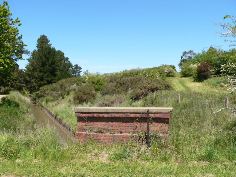
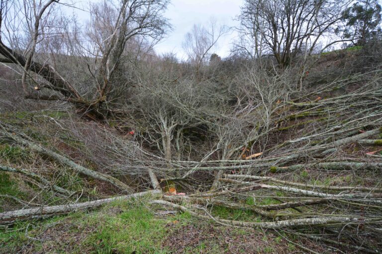
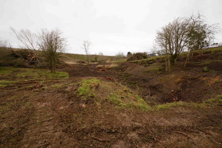
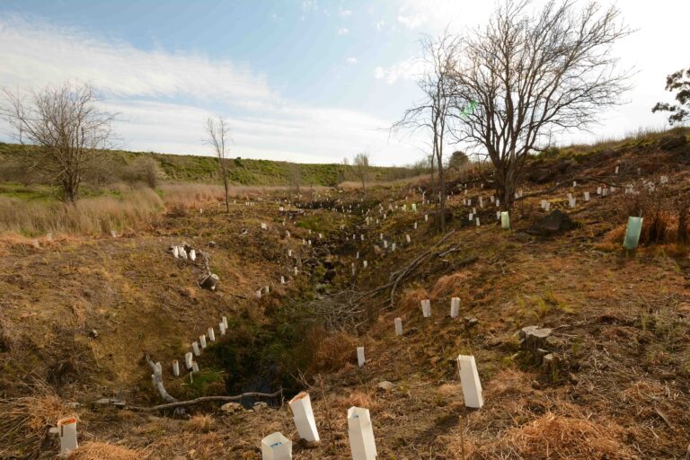
This is Malmsbury Landcare’s largest project to date. The initial works were completed in two stages, with stage one starting south of the Chinaman Track crossing of Kangaroo Creek and following the creek through to the Springhill Road. Stage two included follow up work to stage one and extending the project area north of the Springhill Road to the end of the Wombat State Forest. Please look to our Kangaroo Creek – Denver Project for further details work undertaken in stage two.

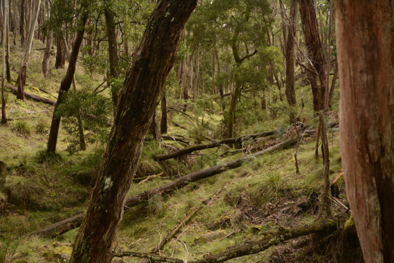
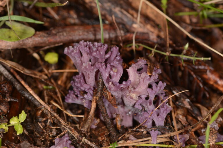
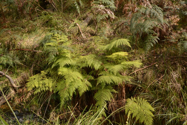
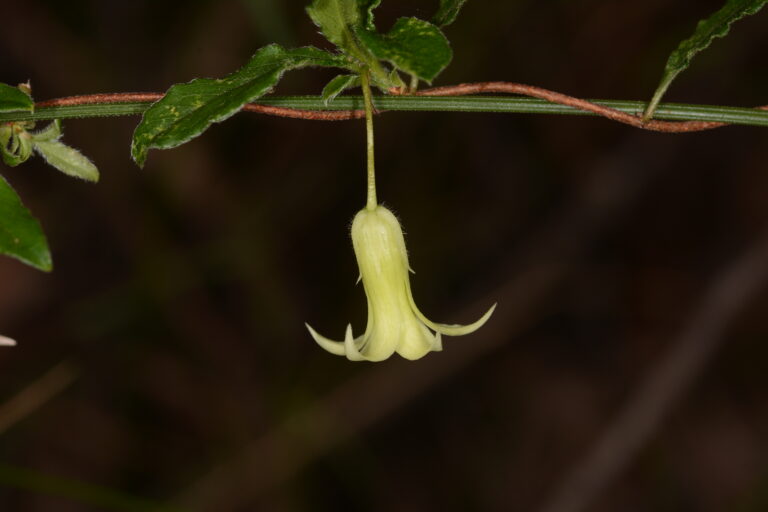
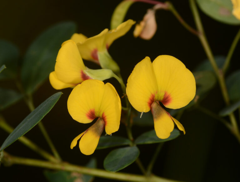
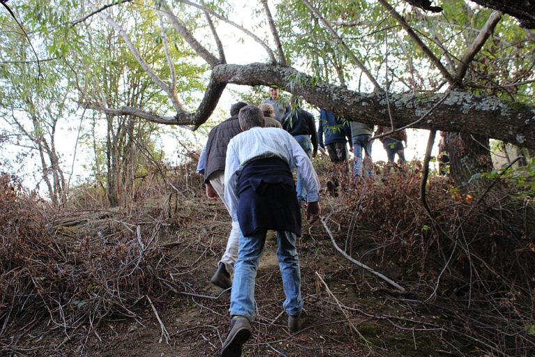
When North Central Catchment Management Authority (NCCMA) announced their Upper Coliban Project Landcare Grants program in 2017, the long-held dream of dealing with the 8.5 hectare patch of Gorse that straddled the Kangaroo Creek immediately to the south of Chinaman Track became a reality. We also proposed to treat all Gorse on both creek banks downstream to the Springhill Road, a distance of approximately 3.5 kilometres. Part of our in kind contribution was to conduct flora surveys of the Kangaroo Creek to its origin at Little Hampton (6 kilometres upstream from Chinaman Tk) and all the streams feeding in above the Springhill Road. This included Doctor’s Creek, Mudlark Creek, Whitehorse Creek, Buckley Creek and O’Learys Creek.

Lauriston Common

We originally titled this project “Connecting Lauriston to the Reservoir” and it is another example of public land that had become so degraded due to weed infestation, that it was virtually impossible to walk through it. After consultation with local residents, we began discussions with the North Central Catchment Management Authority (NCCMA) who immediately saw the potential of this 14 hectare site and were able to offer funding via their Upper Coliban Project Landcare Support Grants program. That was in 2018, and in 2019 the removal of the woody weeds began. NCCMA followed up with willow removal in 2021 and in 2022 preparations were made for the reintroduction of indigenous vegetation with Djandak (the commercial arm of the Dja Dja Wurrung Clans Aboriginal Corporation) taking a leading role.

Malmsbury District Landcare undertook extensive flora and fauna surveys of the region and provided a number of “in the field” opportunities for members and the wider public to engage in these surveys and flora identification training. As the site has an extensive history of gold mining activity, the Malmsbury Historical Society was also engaged to provide a report on the mining activities.

Channel Reserve

This site was so overgrown with weeds that the only access was via a culvert running beneath the Coliban Main channel. Discussions with the land manager Coliban Water in 2011 led to a successful Landcare Grant application in 2013 and Malmsbury Landcare embarked on its second major wasteland rehabilitation project (following on from initial works on the adjacent Malmsbury Common). It was a true smorgasbord of weeds with Willows, Hawthorn, Gorse, Broom, Blackberry, Patterson’s Curse, St John’s Wort, Sweet Briar and Thistles all running rampant with just a few native plants holding on here or there. Once the initial weed removal was done a maintenance program of follow up weed control and regular slashing of grassy areas was agreed with Coliban Water. Step slopes on the site were fenced off and the creek banks and selected other locations within the reserve were planted out in 2017 using seed collected by group members from local volcanic soil based remnants. The next stage is to prepare and install signage that identifies the site entrance and historical features now uncovered that show the early workings required for the first channel from Malmsbury Reservoir to the Bendigo Goldfields.